
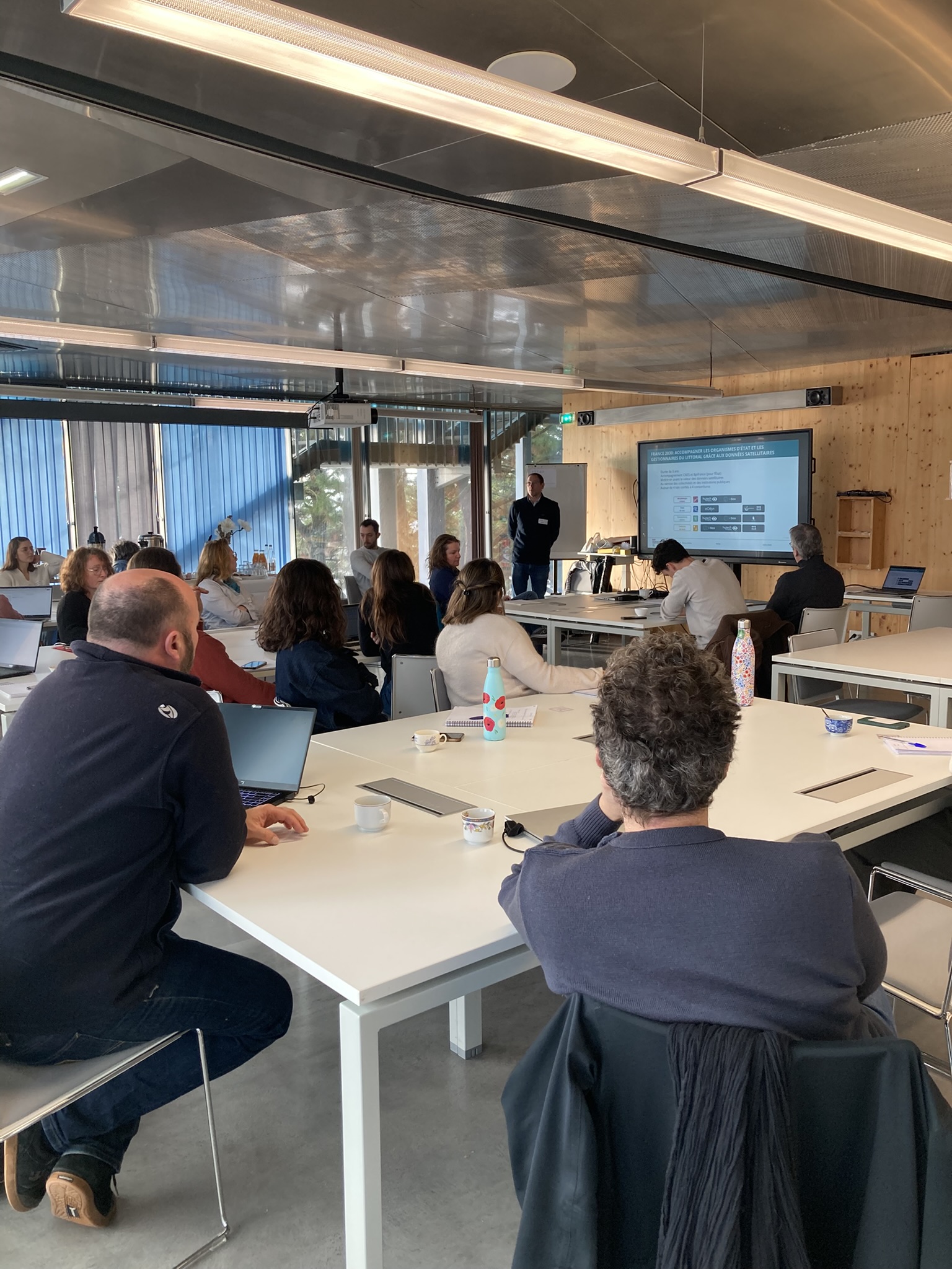
France 2030: Coastal strip in the Brittany region for a second workshop for beneficiaries
The consultation workshop held in Lorient this month brought together about twenty participants from local governments and marine protected areas. The topics discussed covered the entire coastal continuum, ranging from physical dynamics to operational uses and planning.
The challenges identified revolve around three major, complementary areas. The first concerns coastal morphodynamics, including monitoring the coastline at various scales, bathymetry, and the detailed topography of coastal zones, as well as the analysis of sedimentary dynamics (accretion, erosion, subtidal movements) and post-storm effects. The second area focuses on ecosystems and environmental quality, including habitat monitoring (eelgrass, seagrass beds, dunes), water quality (turbidity, pollution, algal blooms), invasive alien species, and the assessment of the impacts of development or natural events on terrestrial and marine environments. The third area concerns operational decision-support services, with applications in marine protected areas (recreational boating, economic activities), coastal risk management (flooding, erosion, post-storm conditions), and maritime spatial planning.
The response to these needs must be based on a multi-scale (local to macro) and multi-temporal approach, combining continuous monitoring (seasonal to multi-year) with rapid event-based analysis (post-storm, environmental crises). The collaborative research has also highlighted a strong need for quantitative operational indicators (eroded areas, sediment volumes) as well as qualitative indicators (habitat types, sediment characteristics, ecosystem health) to directly inform professional practices.
The overall trend highlights a strong demand for multi-source integration (satellite, airborne, LiDAR, in situ, historical, domain-specific, and participatory data) andinteroperability, as well as the development of decision-support services in the form of dashboards, alerts , and GIS tools.
Finally, users are expressing a growing need for forecasting and anticipation (medium- and long-term scenarios), marking a shift toward hybrid services that combine observation, analysis, and support for strategic coastal planning.
The organizers would like to thank all participants for their strong engagement and valuable contributions, which made it possible to develop these initial service scenarios throughout the day’s proceedings.