Cosmeo transforms Earth observation data into operational services for coastal areas
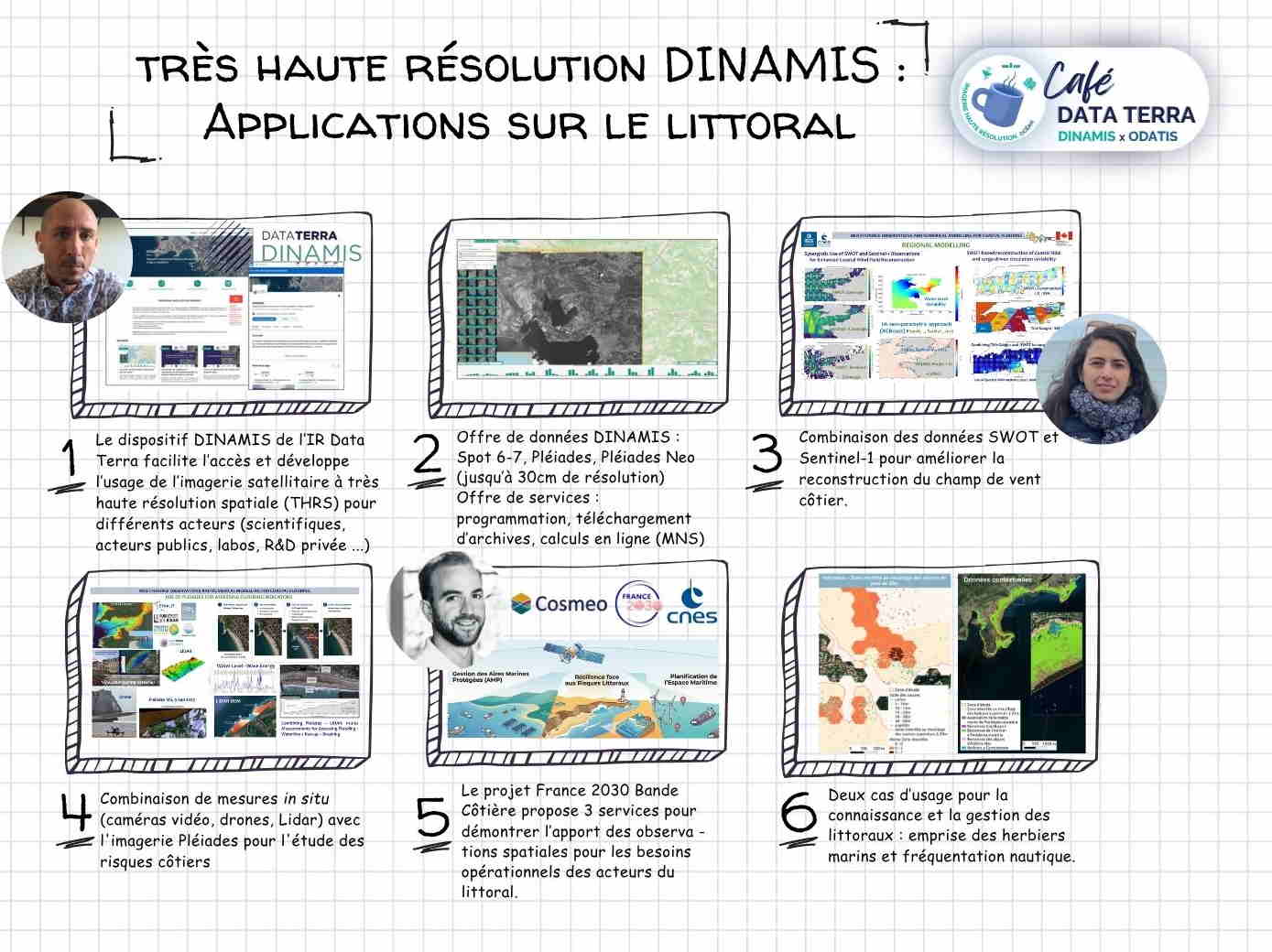
The Cosmeo programme aims to provide harmonised reference data on the coastline and coastal areas – covering topobathymetry, the coastline, coastal habitats, water quality and sea states – as well as integrated dashboards enabling their operational use.
The aim of these products is to provide government bodies and coastal managers with decision-support tools tailored to the practical needs of monitoring and analysing coastal dynamics, drawing on tried-and-tested satellite technologies that are gradually being integrated into standardised operational services
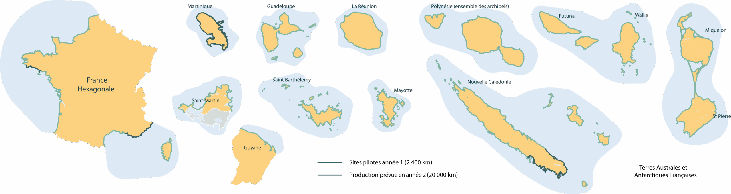
Cosmeo is supported by CNES as part of the France 2030 coastal monitoring plan. The programme is based on an initial consolidation phase, followed by the gradual roll-out of services, and aims for nationwide deployment across mainland France and its overseas territories.
Building on the three-year funding programme for government bodies, Cosmeo aims to establish a national coastal intelligence service for all coastal stakeholders, whether public or private, with a view to eventually offering a commercial service at a fair price.
Themes
Cosmeo’s services are based on three areas of environmental data production, covering coastal morphology, oceanographic dynamics, and coastal ecosystems. A fourth, cross-cutting area is dedicated to the operational use of this data to support coastal management.

Coastal morphology
Morphodynamic monitoring services (coastline surveying, bathymetry, topography)

Sea conditions
Monitoring services for coastal ocean dynamics (currents, waves, dynamic topography and wind)

Coastal ecosystems
Ecosystem monitoring services (habitat mapping, vegetation monitoring, water quality)

Decision-making support
Dashboards to support coastal management (monitoring of land use, analysis of coastal risks, support for the management of Marine Protected Areas)
Sovereign national expertise
Cosmeo draws on a consortium of French industry partners and experts with recognised expertise in environmental data processing and the design of operational services for the coastline. They are responsible for producing and validating reference data and making it available via operational platforms and dashboards to support decision-making.
Beneficiaries
Cosmeo’s services are being assessed by eight government bodies and are being rolled out gradually in pilot regions.







Keep up to date with our latest news
An investment plan for innovation
Launched in October 2021 by the government, France 2030 is a massive investment plan aimed at innovative companies. Its space component, operated by CNES and Bpifrance on behalf of the government, aims to develop new commercial markets by leveraging satellite data and increasing its adoption by stakeholders.


In response to the needs of government bodies
CNES is providing three years of support for pilot projects to demonstrate operational services in collaboration with government agencies such as Shom, Cerema, BRGM, OFB, IGN, Ifremer, and others. These service demonstrations address needs identified during a call for expressions of interest that concluded in 2023.
Supporting a consortium of companies
Based on the needs analysis, CNES defined a set of specifications for innovative solutions tailored to coastal challenges. The development work, divided into four thematic areas, was entrusted to three industrial partners operating under a common banner: Cosmeo.