Very High-Resolution Satellite Imagery: Dinamis and Cosmeo Supporting Coastal Management
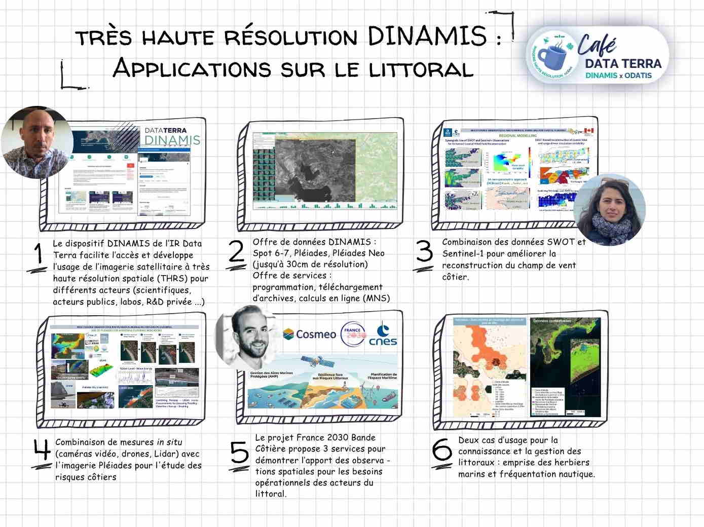
The Café Odatis webinar, held on June 25 in collaboration with Data Terra and DINAMIS, highlighted recent advances in satellite observation for coastal areas through case studies of very high-resolution imagery for coastal monitoring.
At the heart of the discussions: the transformation of complex spatial data into tools that can be directly utilized by coastal managers.
DINAMIS: A Shared Access Point for Very High-Resolution Images
Within the Data Terra research infrastructure, the Odatis cluster (Data and Services for the Ocean) plays a central role in fostering engagement within the scientific community around marine and coastal data.
By promoting access to data through initiatives such as DINAMIS, Data Terra also helps democratize the use of Very High Spatial Resolution (VHSR) imagery.This mission is essential for overcoming technical and financial barriers, thereby enabling local stakeholders to benefit from the latest space missions (Spot, Pléiades Neo).
The discussions highlighted thefundamental importance of these data access systems, which serve as essential links between space infrastructure and operational applications. Ensuring the long-term viability of DINAMIS thus emerges as a key challenge for guaranteeing continuous and shared access to satellite imagery.
With this in mind, access procedures could be gradually enhanced tofacilitate and automate access to imagery, as well as its integration into processing chains and operational workflows—particularly those used in services such as Cosmeo.
The goal is to make the information more readily available and directly usable, ranging from ad hoc analyses to regular monitoring of coastal dynamics.
Cosmeo: Operational Services for Coastal Management
Among the presentations, Valentin Pillet (i-Sea) highlighted several projects developed as part of Cosmeo, supported by CNES through the France 2030 program. Valentin Pillet (i-Sea) highlighted several projects developed as part of Cosmeo, supported by CNES through the France 2030 program.
The application of deep learning to VHR satellite imagery enables the production of environmental information that is directly usable for coastal management, including:
- la detailed mapping of sensitive habitats, such as seagrass beds ;
- le monitoring of activities, including recreational boating.
These approaches illustrate how satellite data, once processed, becomes a practical tool for decision-making regarding the conservation and management of coastal ecosystems.
Beyond these initial use cases, the discussions highlighted a trend toward more integrated and flexible services, combining systematic data production with on-demand processing, in order to meet the diverse needs of coastal stakeholders.