First Steering Committee meeting following extensive consultation with beneficiaries
The first steering committee meeting for each of the four lots of the France 2030 “Coastal Zone” program was held this month.
The high turnout (about 60 participants·across all lots) confirmed a strong collective momentum around the development of future operational services for coastal and marine management.
The discussions, which covered both strategic and technical aspects, helped clarify user needs, define expected functionalities, and solidify the program’s path toward pilot site demonstrations in 2026, followed by large-scale deployment in 2027 and 2028.
The work will focus on the development of mapping services.
Focus on Coastal Morphology Products
Lot 1 will develop reference products to describe coastal morphology (bathymetry, topography, coastline). Technical discussions have confirmed a strategy of gradually rolling out pilot sites (in Brittany, the PACA region, and New Caledonia), followed by an expansion to the French West Indies, French Guiana, and French Polynesia. In particular, the Nouméa site was selected to replace an initial site, with work already underway in coordination with institutional partners.
Focus on Sea Conditions Products
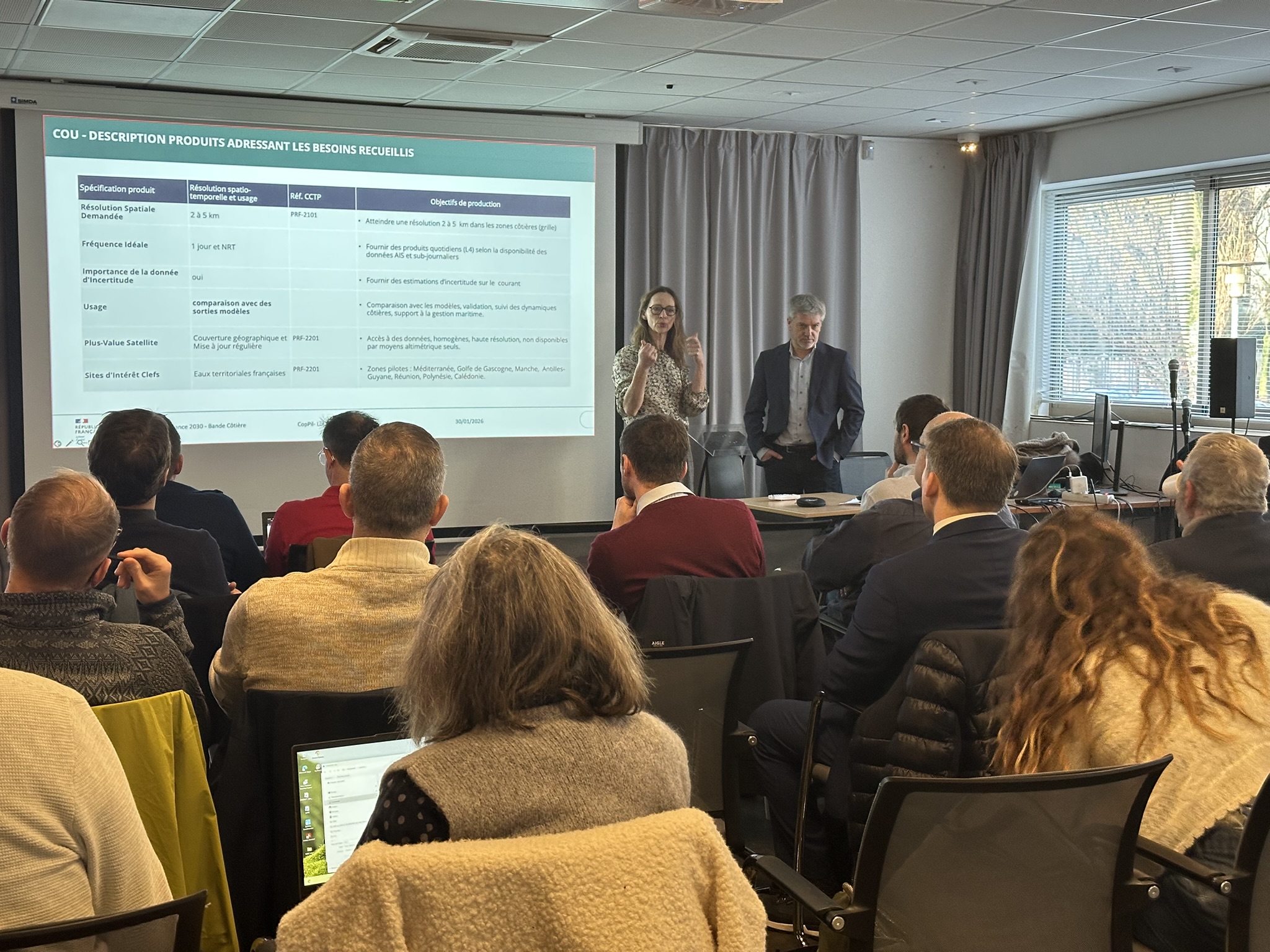
The committee helped clarify the operational services currently under development: currents, waves, winds, and dynamic topography. Technical discussions focused on expected performance, spatial resolutions, production timelines, and multi-source integration (satellites, buoys, AIS data). The discussions also helped consolidate user requirements and clarify product validation procedures, with high expectations regarding data quality and interoperability.
Focus on Ecosystem Monitoring Products
Lot 3 provides indicators on ecosystems and water quality. Technical discussions focused on the products’ ability to meet the requirements of the Water Framework Directive (WFD), particularly in areas with clear water, with explicit consideration of uncertainties. The limitations of the indicators under conditions of high turbidity were also discussed, leading to a phased approach to assessment based on sites of increasing complexity.
Focus on the decision-support services
Lot 4 transforms this data into decision-support services for public stakeholders, focusing on three main areas of application: the management of marine protected areas, the monitoring and forecasting of coastal risks, and the planning of marine land-use. Discussions helped clarify key structural points: the distinction between operational management and strategic planning; the need for highly sector-specific dashboards to be co-developed; and the necessity of combining recent data with long-term historical time series. The discussions also underscored the importance of ensuring consistency with national standards as well as complementarity with other initiatives led by institutional partners. The priority geographic areas (Provence-Alpes-Côte d’Azur, Brittany, New Caledonia) were confirmed, with a gradual expansion to the overseas territories. Initial guidelines were approved for monitoring water-based recreational activity, while certain use cases (shellfish farming, offshore planning) still require further analysis.
Beyond the technical aspects, these steering committees demonstrate a strong commitment from institutional stakeholders and local authorities, as well as a shared determination to establish sustainable, interoperable, and readily deployable services for coastal management.

 Focus on Coastal Morphology Products
 Focus on Sea Conditions Products
 Focus on Ecosystem Monitoring Products
 Focus on the decision-support services