Kick-off meeting for the service demonstrations under the France 2030 space programme for coastal zone monitoring
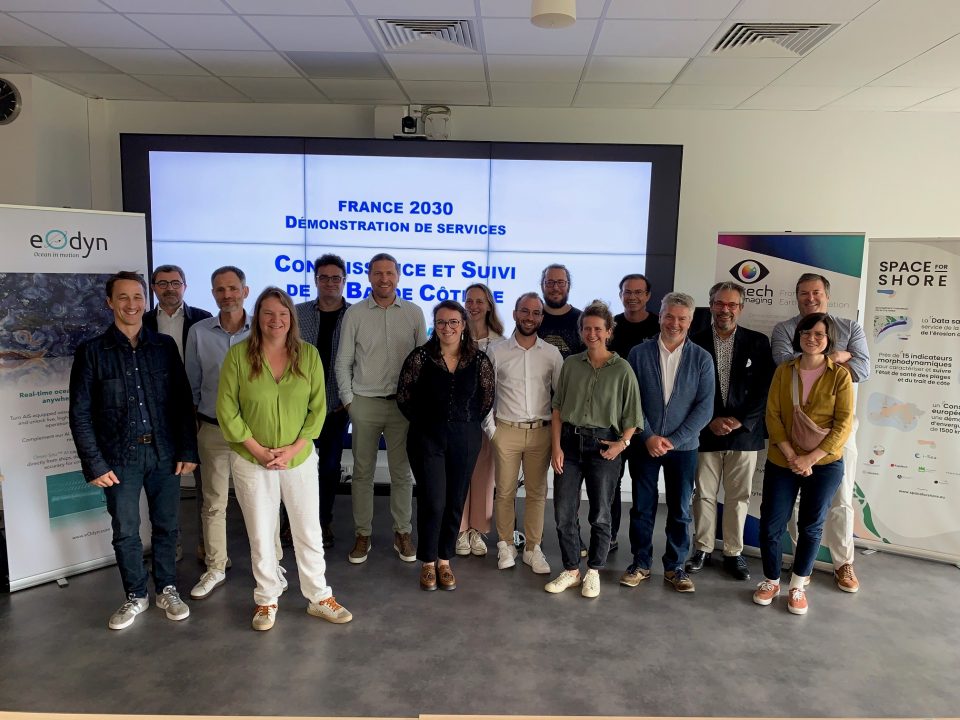
Held on 9 July in Brest, the kick-off meeting for the service demonstrations under the France 2030 space programme for coastal monitoring brought together 100 participants!
The meeting helped to define the scope of the France 2030 programme, led by CNES, by reiterating its objective of developing operational services based on space data, co-developed with key clients and integrated into their decision-making tools.
Discussions covered all the lots:
- Lot 1 on coastal morphology, led by Hytech-imaging and i-Sea, utilising satellite data (e.g. Sentinel-2, Pléiades, etc.) to generate products relating to coastlines, bathymetry and topography.
- LOT 2, dedicated to monitoring sea conditions in near real time (currents, waves, wind), led by eOdyn in collaboration with OceanDataLab and CLS, based on the fusion of satellite, in situ and AIS data
- LOT 3 for ecosystem monitoring (mapping of habitats, health indicators and water quality), led by Hytech-imaging and i-Sea, in collaboration with BiOceanOr, drawing on satellite data (Sentinel-2, Sentinel-3, VIIRS, Pléiades, etc.) and in situ data.
- Lot 4, dedicated to the utilisation of this data in the form of decision-support services, led by i-Sea and Hytech-imaging in collaboration with CLS, and addressing use cases such as the management of marine protected areas or support for coastal zone planning.
The meeting highlighted the challenges of scaling up and integration, whilst identifying key areas for the next stages, notably the selection of pilot sites, co-design with beneficiaries, and the preparation of the consolidation workshops planned for the autumn.
The project team would like to extend its sincere thanks to the project’s beneficiaries, who turned out in large numbers to discuss our proposed service and how well it meets the needs of coastal stakeholders.