France 2030: Coastal strip in the South PACA region for an initial workshop held as close as possible to the beneficiaries
Collaborative design of a dashboard for coastal management
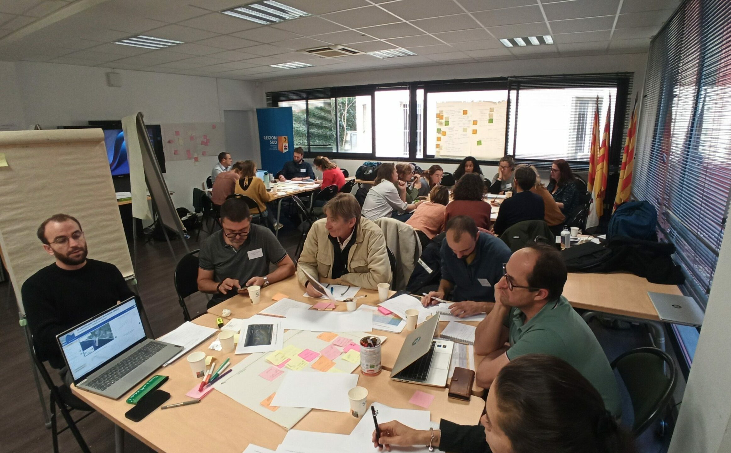
On December 8, 2025, coastal managers, experts, and institutional stakeholders gathered in the PACA region to develop innovative dashboards for monitoring and managing the coastal zone. This workshop, organized as part of France 2030, aimed to identify the data, indicators, and tools needed to better understand coastal land uses, natural dynamics, and risks.
The participants focused on two topics: “Land-Use Management in Marine Protected Areas” and “Risks of Erosion and Flooding.”
Group 1: Monitoring land use in Marine Protected Areas
Participants identified a strong need to better quantify and map boating traffic, distinguishing between different types of vessels and paying particular attention to those longer than 20 meters.
Monitoring Posidonia seagrass beds, water quality, and Posidonia beds is also a priority, with a particular focus on seasonal analyses and trends over a 5- to 10-year period.
Managers want a simple, practical tool that includes an interactive map, AIS and satellite data, heat maps and risk maps, and automatic alerts in the event of anchoring in a sensitive area or the presence of oversized vessels.
Group 2: Risks of erosion and flooding
The second group focused on monitoring and anticipating coastal risks. Priorities include regular monitoring of the coastline, which is intensified following storms; the topography of beaches from the shoreline to the closure depth; indicators of sediment dynamics and submersion; and 30-, 50-, and 100-year projections to support land-use planning.
Participants expressed strong interest in a digital twin capable of simulating changes to the coastline, as well as in interfaces tailored to experts, managers, and the general public. The integration of the land registry, the local urban development plan (PLU), storm records, and natural habitats is considered essential for understanding the impacts on urbanized areas.
Toward adaptive dashboards
The two groups are converging towards the creation of an integrated dashboard that combines usage data, environmental data, and risk data. The proposed tool is based on a central interactive map, thematic modules (uses, habitats, risks), a visualization system designed for multiple audiences, and clear indicators to support both day-to-day management and long-term planning.
This workshop marks a key milestone in the development of a shared service, designed with and for managers, to support sustainable and proactive management of the Mediterranean coastline.